Mount Maria
| Mount Maria | |
|---|---|
| Highest point | |
| Elevation | 2,160 ft (660 m) |
| Coordinates | 51°36′00″S 59°35′38″W / 51.600°S 59.594°W |
| Geography | |
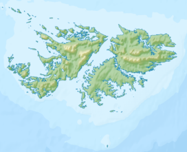
| Location | West Falkland, Falkland Islands, south Atlantic Ocean |
| Parent range | Hornby Mountains |
Mount Maria is a mountain of the Hornby Mountains, adjacent to Port Howard, on West Falkland island (Falkland Islands). It reaches a height of approximately 2,160 feet (660 m).
As one of the highest mountains of the Falklands, it experienced some glaciation. The handful of mountains over 2,000 feet (610 m) have:
pronounced corries with small glacial lakes at their bases, [and] morainic ridges deposited below the corries suggest that the glaciers and ice domes were confined to areas of maximum elevation with other parts of the islands experiencing a periglacial climate.[1]
References
- ^ Strange, Ian (1983) The Falkland Islands

